


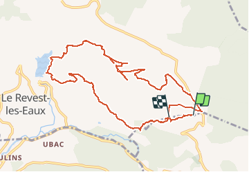

14,1 km | 21 km-effort

Benutzer


Kostenlosegpshiking-Anwendung
 SityTrail
IGN / Geografische Institute
SityTrail World
Die Welt öffnet sich für Sie
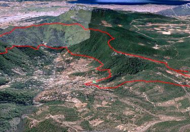
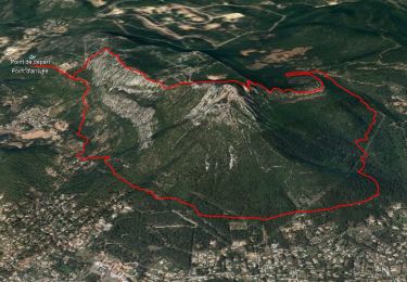
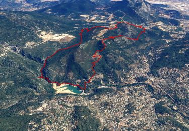
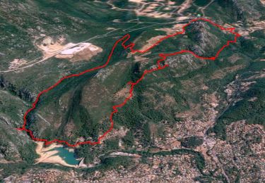
Tour Wandern von 12,9 km verfügbar auf Provence-Alpes-Côte d'Azur, Var, Le Revest-les-Eaux. Diese Tour wird von marchev vorgeschlagen.
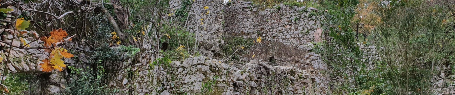
attention il faut modifier la fin de la randonnée. Après la visite du vieux village des Olivières retrouver GR 51, monter sous la ligne électique pour retrouver le château de Tourris et rejoindre la voiture


Wandern
Wandern
Wandern
Wandern
Wandern

Wandern

Wandern
Wandern
Wandern